
 Sensori
Sensori is a New Zealand reality capture company that turns 360 cameras and everyday smartphones into engineering-grade spatial data tools.
- Category
- AI and B2B SaaS
- Fund
- NZVC I
- Website
- sensori.systems
What Sensori does
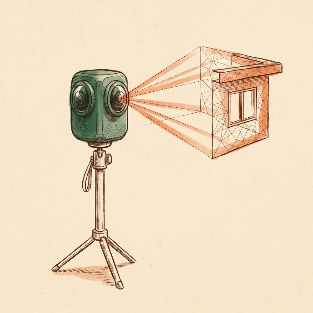
Field teams record video on cameras they already own, and Sensori's cloud photogrammetry processes it into georeferenced point clouds, 3D meshes and orthophotos, with accuracy the company says can exceed expensive SLAM scanners. A web viewer lets teams measure, inspect and share large scans, exports go straight into scan-to-BIM and GIS workflows in formats including E57, GLTF and GeoTIFF, and an API automates submission and retrieval. Construction, infrastructure and geotechnical teams use it to document builds, inspect underground assets and verify site conditions.
The secret behind Sensori
Most construction sites are already filmed on a phone or a 360 camera, and that footage rarely becomes survey data. Processing it in the cloud gives a site team a measured 3D record from a camera that costs a fraction of a laser scanner, and one light enough to reach into ceiling voids and manholes.
Why NZVC invested in Sensori
We backed Sensori because construction and infrastructure run on accurate records of what was actually built, and laser scanning is too costly and slow to do often. Sensori lets a team capture that record with hardware it already carries, which makes scanning a routine part of the job.